Welcome to Quantix™ Help
The Place to Find Information, Tutorials, FAQs, and More

A Quick and Simple Mapping Solution
Quantix™ is a powerfully simple to use UAV empowering users through its fully-automated operation and instant insight. Its hybrid design allows the aircraft to launch vertically and transition to horizontal flight; maximizing aerodynamic efficiency and range. Users can immediately view high resolution imagery on the included Operating Tablet – no other devices, internet or additional software required. With the touch of a button, users can quickly and safely generate up to date maps for in-field assessment. Whether assessing crop growth during key stages, or damage from storm, flood and fire, Quantix Mapper makes It easy to gather accurate images across a large area, assess and react to situation with precision and speed.
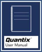
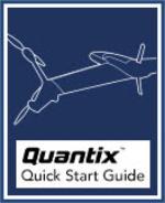
Quick Start Guides & Manuals
Instructional Videos
Copyright © 2017-2021 AeroVironment, Inc.

